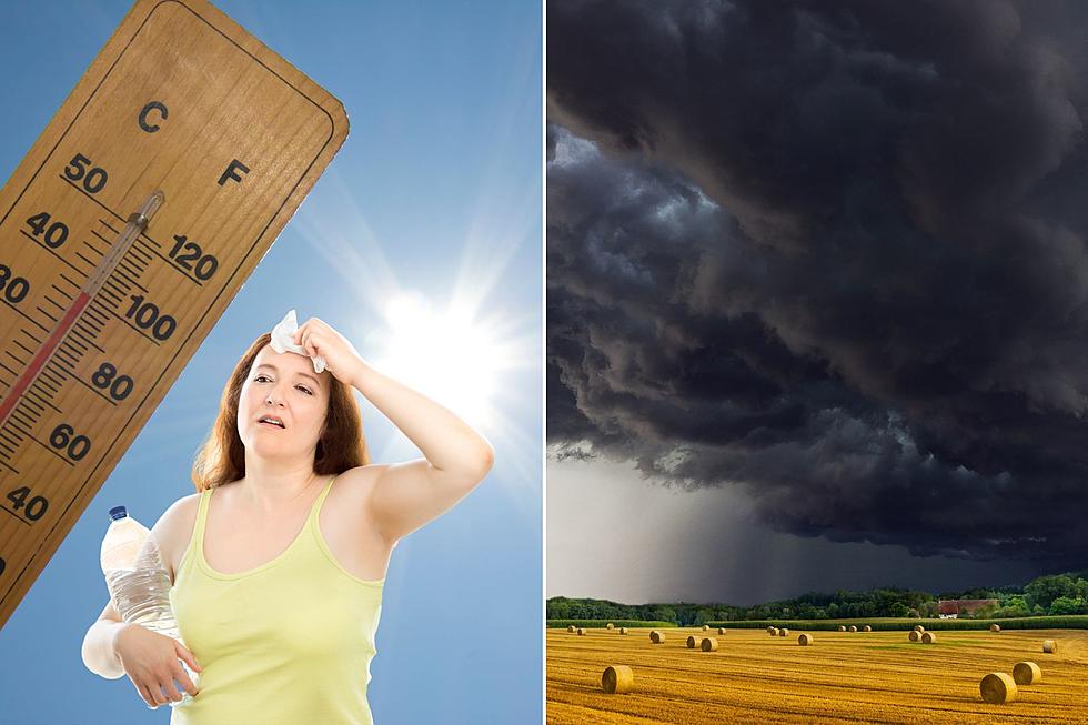
Extreme Heat and Severe Weather Return To Oklahoma
Oklahoma is in the depths of summer now. The Fourth of July has past and now we're left to sweat out the rest of summer as we dream of fall weather. Oklahoma had some AMAZING weather for this past holiday weekend, but it looks like we're back to extreme heat and severe weather.

According to the National Weather Service in Norman, today (Wednesday, July 5) is going to be a warm one. We'll see the temperature get up between 100 and 107 degrees this afternoon. Areas in southeast Oklahoma will see the hottest temperatures today and have already been placed under a heat advisory.
But relief is on the way! A cold front is expected to roll through this evening.
A cold front will be rolling through this afternoon bringing thunderstorms with it. It's possible that these thunderstorms will be strong and potentially severe with hail up to the size of golf balls and damaging winds up to 70 miles per hour.
As we move into the overnight, one to two complex thunderstorms are expected to develop in northern Oklahoma and then move into western Oklahoma. Again, we could see golf ball sized hail, damaging winds and heavy rainfall that could cause localized flooding. These storms are expected to last through Thursday morning.
After the storms, we'll see much cooler temperatures!
As the cold front and its thunderstorms move through Oklahoma, we'll be left with cooler temperatures! Some areas of Oklahoma will see highs in the low 80s and evening lows in the 60s. If only they would stick around for the rest of summer.
The Ten Most Tornado-Prone Counties in America
25 more hilarious & offensive personalized plates that were DENIED by the Oklahoma Department of Motor Vehicles
More From KLAW-FM


