These past few weeks have definitely felt like summer in Oklahoma! Temperatures have gotten up in the 90's, some days have been close to the 100's! So this cold front coming in Friday, May 19 will be much needed relief.
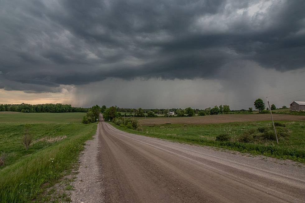
It looks like Oklahoma spring weather is getting ready to do what it does best in May: produce gigantic tornadoes. Today, Thursday, May 11, a majority of Oklahoma is at an enhanced risk for severe storms and tornadoes.
According to the National Weather Service in Norman, "there is an enhanced risk of severe thunderstorms late this afternoon and evening across much of central and north central
Severe storms are definitely showing off this spring in Oklahoma! Last weekend, Southwest Oklahoma saw some vibrant colors and crazy lighting storms during a bout of severe storms.
It's been chilly and rainy for most of April, so I'm sure all Okies are ready for a bit of sunshine this May. But it won't last long as some severe storms are expected later this week.
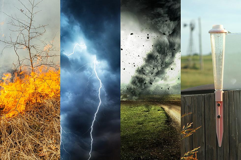
The rain won't be going away anytime soon! We'll see lots of it today and through tomorrow, plus risks for flash flooding, severe thunderstorms and possible tornadoes.
It's shaping up to be a wet week in Oklahoma! Rain will begin to move in this evening and looks like it will be staying around through Friday, April 28.
Spring weather has certainly come in full force this year in Oklahoma, and it looks like after a calm week, we'll start the weekend with severe weather potential Friday, April 14.